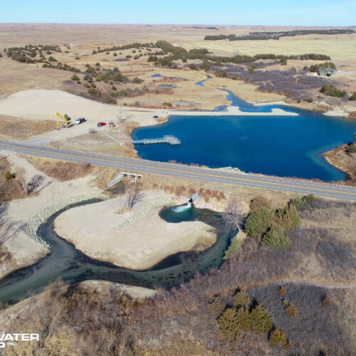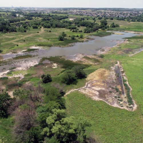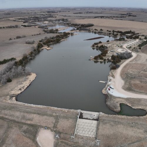
Drone capabilities can help add value to projects ranging from conceptual design to construction. High-resolution imagery and video empowers new perspectives for clients and team members during and after project completion.
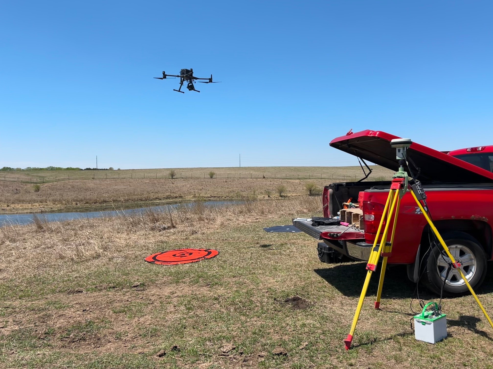
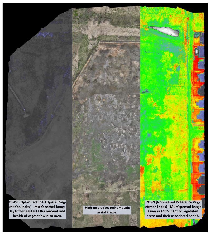
TFG’s drone fleet includes 3 different DJI branded devices specialized for aerial imagery, LiDAR topography and multi-spectral imagery collection. TFG’s FAA Part 107 licensed commercial drone pilots have over 15 years of combined professional flight experience.
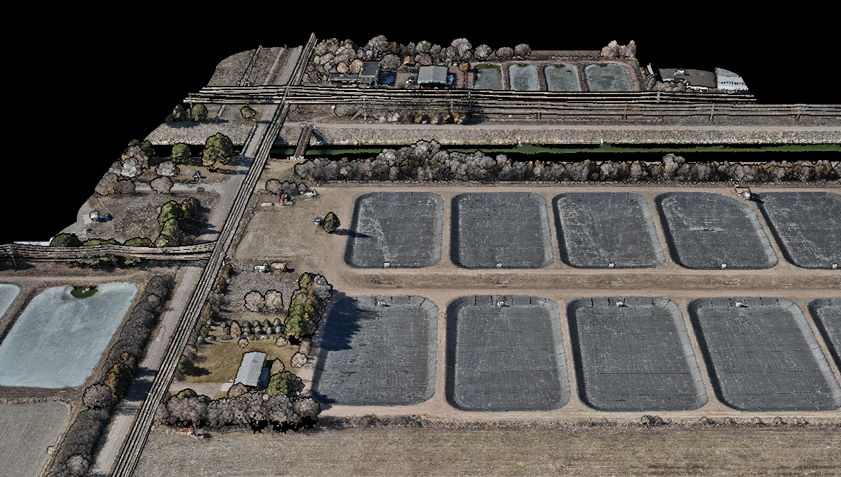
Drone applications include:
- Aerial imagery and panoramas
- Topographic mapping and photogrammetry
- Point clouds/Digital Elevation Models (DEM)/Rasters
- Site monitoring
- Volume calculations
- 3D surface renderings
- Construction oversight
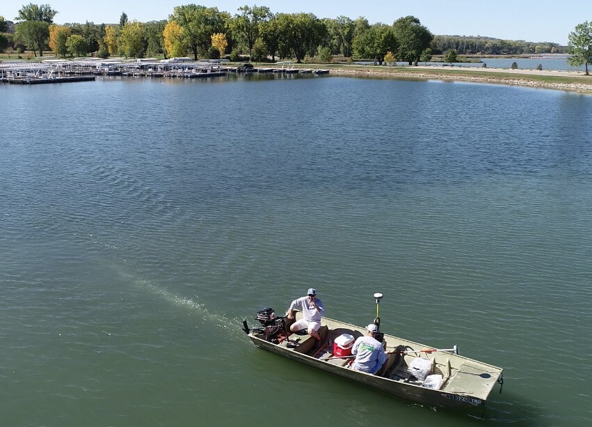
TFG employs a boat-mounted Sonar M8 bathymetric survey system synced to GPS survey equipment to collect lake bathymetry data. Bathymetric data is integrated into AutoCAD to develop a 3D surface of the lake bottom. This information is used to determine lake deepening and sediment removal quantities for lake rehabilitation projects.
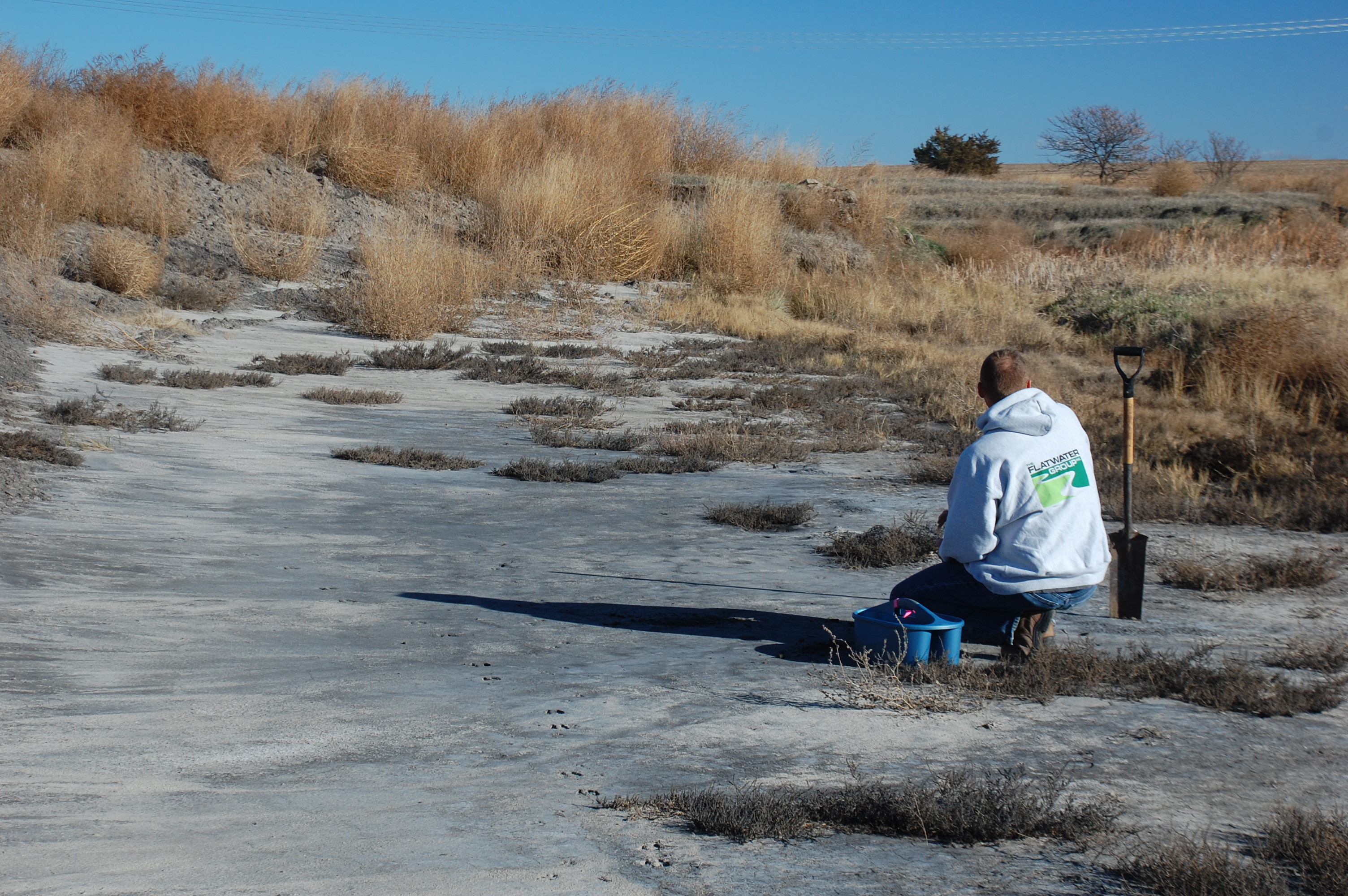
TFG routinely collects soil and water samples for lab analysis to inform data collection and design decisions and establish baseline conditions for site monitoring to evaluate project success.
TFG has installed transducer devices in stream and river systems to monitor flow stages for hydraulic and hydrologic modeling and to inform restoration design measures.